360Geoinfo Loading...
Explore and analyze geographic data layers to uncover meaningful insights. From terrain mapping to spatial analysis, we enable precise decision-making using advanced geospatial technologies.
Leverage GIS to capture, analyze, and visualize spatial data. GIS provides the tools for mapping, asset management, and location-based decision-making across industries.
Combine geospatial data with Information and Communication Technology. Geo-ICT bridges spatial intelligence with IT infrastructure for seamless data management.
Explore Earth's systems through Geoscience. From geological mapping to environmental monitoring, uncover the dynamics of our planet and its resources.
360 GeoInfo Company aims to lead in the acquisition and management of spatial information, offering comprehensive Geographic Information System (GIS), Geospatial, Geo-ICT, and Geosciences services within Negara Brunei Darussalam. With cutting-edge technology and a team of industry experts, we empower clients with tailored solutions and insights to drive success and thrive in an ever-evolving landscape.
Our commitment aligns with the vision of His Majesty the Sultan of Brunei, Wawasan 2035, as we pledge to deliver services that consistently meet or exceed our clients' contractual expectations.
Towards A 'Smart Nation'
Deliver Innovative Solutions
Leverage Advanced Technologies
Foster Sustainability
Develop Local Expertise
Ensure Client Satisfaction
Enhance Digital Transformation
Build Strategic Partnerships
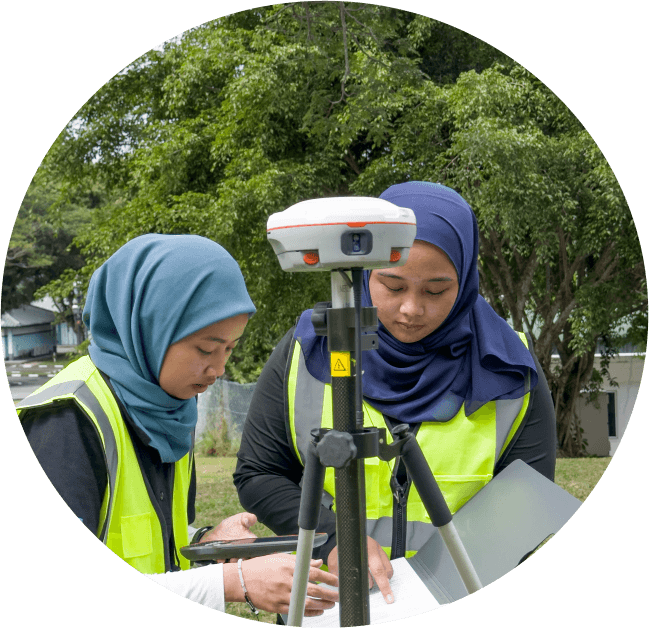
360 GeoInfo Company is dedicated to continually enhancing our Health, Safety, and Environment (HSE) system as the health and safety of our employees, contractors, and relevant third parties is paramount in our operations.
Furthermore, we are dedicated to environmentally responsible practices to safeguard our natural surroundings in support of towards achieving the Sustainable Development Goals (SDGs).
We are fully committed to supporting Wawasan 2035 by optimizing local workforce utilization and promoting the use of local goods and services in all our operations.
Our top commitment is to achieve accuracy and excellence in geospatial solutions and services.
The Geospatial Department is a specialized division dedicated to the study, analysis, and application of spatial data to support decision-making processes in various domains.
Geoscience is the study of the Earth, its structure, processes, and materials. We offer a wide range of services, from geological surveys to educational outreach, all aimed at understanding and protecting our planet.
GIS typically focuses on collecting, analyzing, managing, and interpreting spatial or geographic data. These departments are involved in various activities that are crucial for mapping, urban planning, environmental studies, transportation, and other industries where location-based data is important.
Geo-ICT encompasses the integration of geospatial technologies and information systems to study, analyze, and manage Earth's processes, resources, and environments. We offer diverse services aimed at enhancing decision-making and promoting sustainable solutions.
Our support team will get back to you.